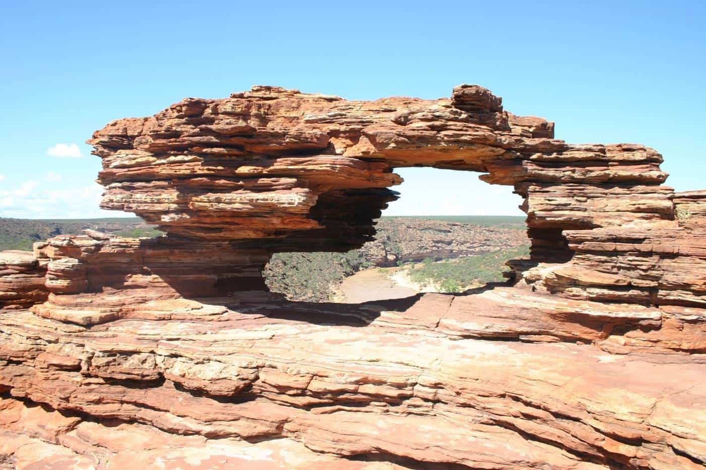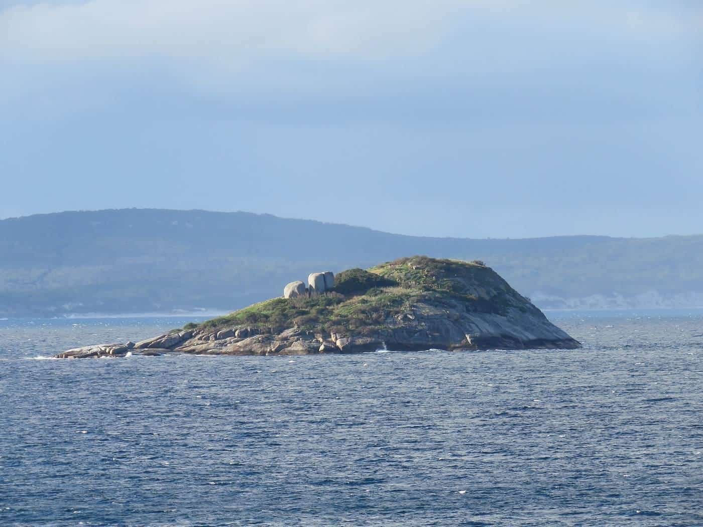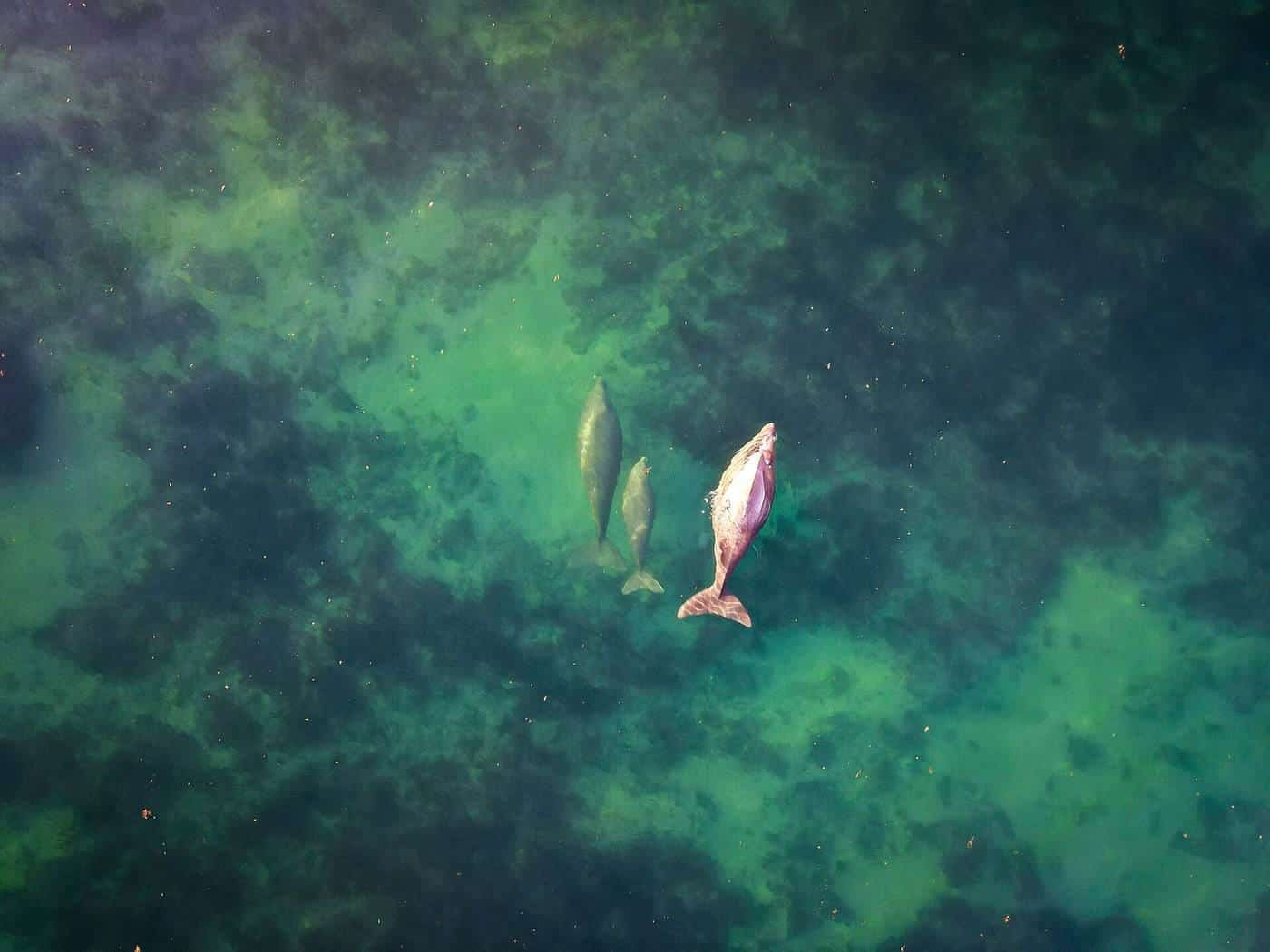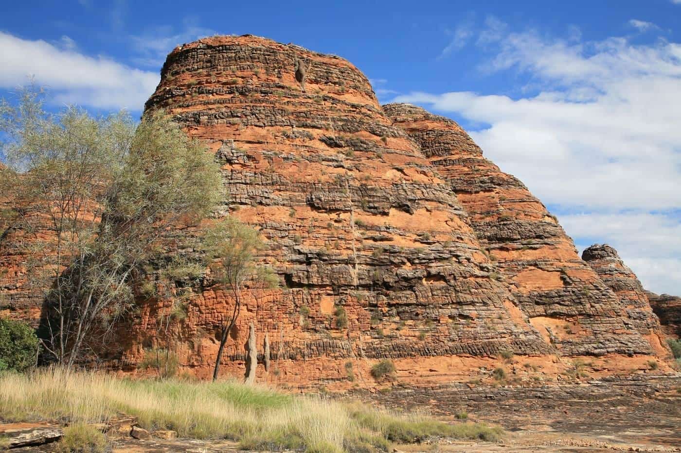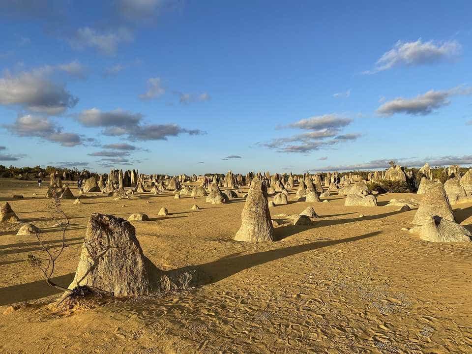
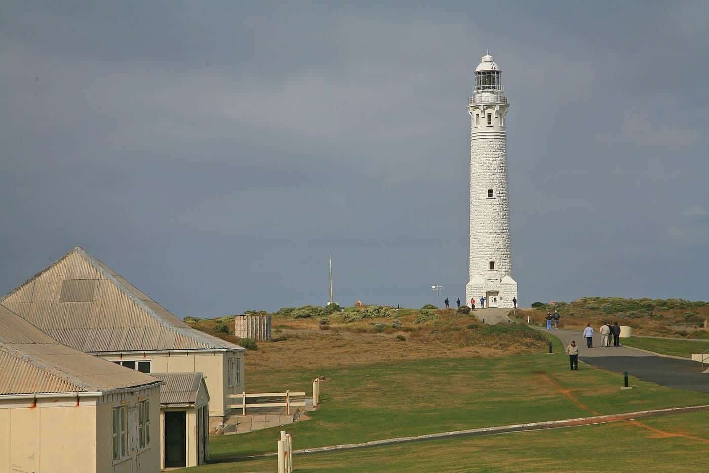
Western Australia is the largest state in Australia, covering about a third of the continent, and most of it lies far beyond Perth. In the south, surf breaks, caves and karri forests surround Margaret River, and whales shelter in the granite bays near Albany. East of Perth, historic towns line the Avon Valley, and Wave Rock rises from the Wheatbelt's farmland. North, the coast road passes the Pinnacles, Kalbarri's gorges and Shark Bay on its way to the Ningaloo Reef, while inland the Pilbara's ranges hide Karijini's gorges. Beyond Broome, the Kimberley is one of the world's last great wilderness regions.
Regional WA Guide is an independent travel guide to all of it. We explain what each region offers, when to go, how to get around and how to stay safe, using official sources and plain English.
~2.5M km²
Area of Western Australia
About a third of the country
4
World Heritage areas up north
Plus more in the south
Two seasons
In the tropical north
Wet and dry
The south
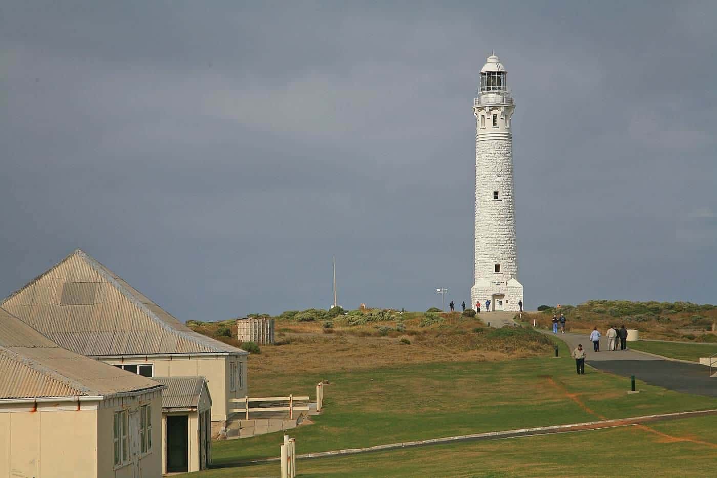
The south of Western Australia has a Mediterranean-type climate and sealed roads to most attractions, making it the easiest region to explore. Highlights include the Margaret River region's beaches, caves and wine country, Albany's history and granite coast, the Stirling Range and the tingle forests near Walpole. East of Perth, the Avon Valley's heritage towns are an easy day trip, and Wave Rock and the Wheatbelt are at their best in wildflower season. Explore our guides to the South West, Great Southern and Wheatbelt.
The north
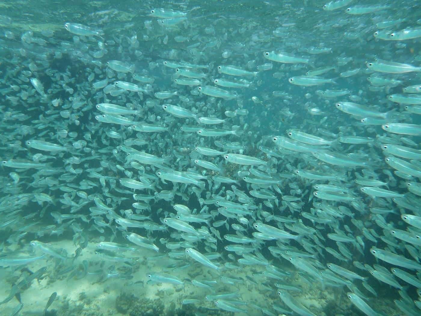
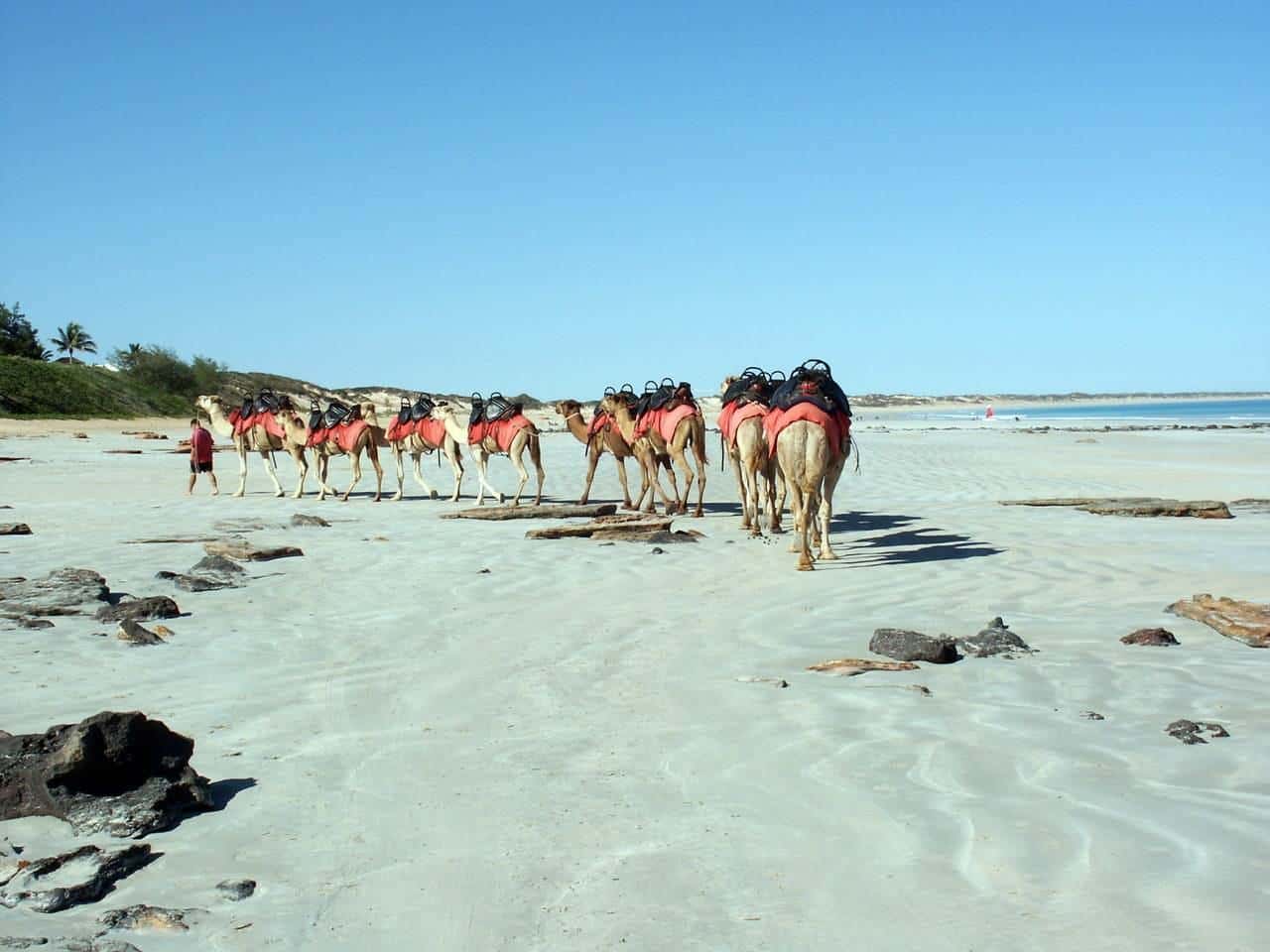
North of Perth, the Coral Coast stretches past the Pinnacles, Kalbarri and the Shark Bay World Heritage Area to Ningaloo, where you can snorkel a coral reef straight from the beach. Inland, Karijini's gorges cut deep into the ancient Pilbara. Broome, with Cable Beach and its pearling history, is the gateway to the Kimberley, the Gibb River Road and the Bungle Bungle Range. The north is best visited in the cooler, drier months. Explore our guides to the Coral Coast, Pilbara and Kimberley.
Planning your trip
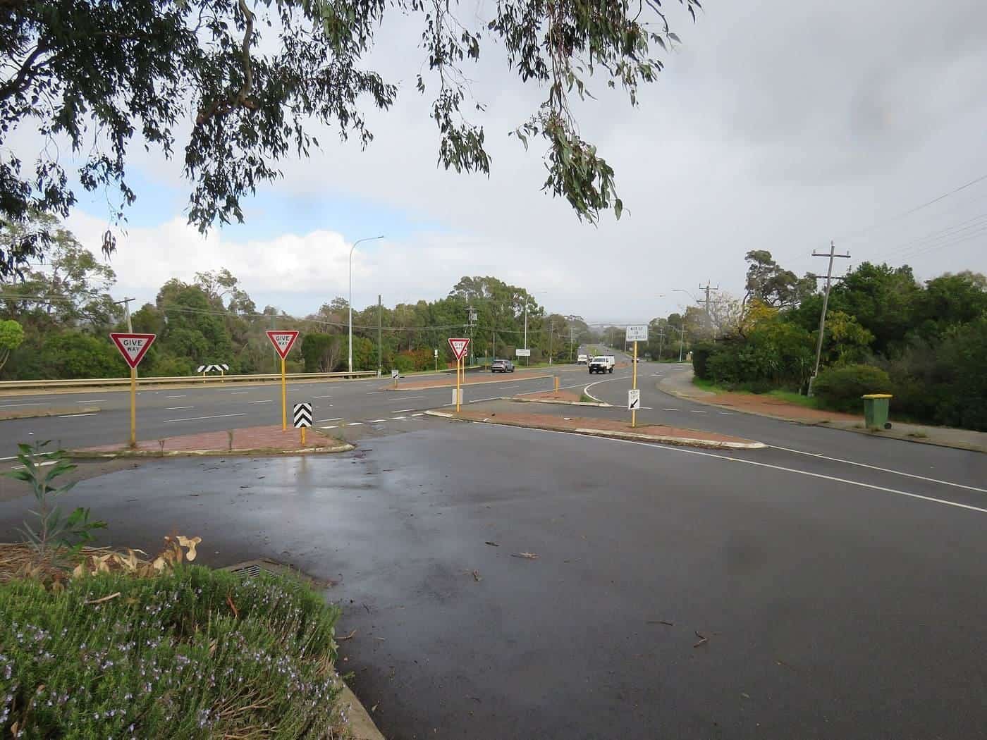
Western Australia's scale makes planning essential. Our road trip planning guides cover distances and road safety, outback travel essentials, the best time to visit each region, and national park passes and camping. Use the drive planner below to estimate driving days, rest breaks and fuel stops.
Five rules for a safe WA road trip
- Plan realistic driving days. Take a break at least every two hours, and arrive before dusk.
- Avoid driving at dawn, dusk and night. Kangaroos and other animals are most active then.
- Fill up at every opportunity. Fuel stops can be hundreds of kilometres apart in remote areas.
- Carry water and a way to call for help. Mobile coverage is limited. Carry a personal locator beacon in remote areas.
- Check conditions. Check Main Roads WA, park alerts, weather warnings and Emergency WA before you travel.
Seasons at a glance
- South: warm, dry summers and cool, wet winters. Spring brings wildflowers and whales.
- Coral Coast and Ningaloo: best from about April to October. Summer is very hot.
- Pilbara: best from about April to September. Summers are extreme.
- Kimberley: dry season from about May to October; wet season from about November to April, with cyclones and road closures.
Respecting country
Western Australia has been home to Aboriginal peoples for tens of thousands of years, and their connection to country continues today. Many national parks are jointly managed with Traditional Owners, and Aboriginal-led tours offer a deeper understanding of the places you visit. Respect signs at culturally significant sites, and check permit requirements before entering Aboriginal lands.
Travel lightly
- Take all your rubbish with you.
- Stay on marked tracks and formed roads.
- Don't pick wildflowers or disturb wildlife.
- Leave pets at home when visiting national parks.
- Follow fire bans and park rules.
Who this guide is for
Regional WA Guide is for anyone planning a trip beyond Perth: West Australians looking for a weekend away, interstate visitors planning a big road trip and international travellers exploring the state. Our guides suit travellers in cars, campervans, caravans and four-wheel drives.
How we research
We base our guides on official and authoritative sources, including Main Roads WA, Parks and Wildlife Service WA, the Bureau of Meteorology, the Department of Fire and Emergency Services and UNESCO. Every guide lists its sources and shows when it was last updated. We don't invent prices, opening hours or reviews. Read our editorial policy.
About this domain
regionalwa.com.au was home to an early regional WA tourism directory in the 2000s. It later lapsed, and the domain was relaunched in 2026 as an independent guide with entirely new content. We aren't connected with any previous operator or with any tourism body. Read more about us.
Key points
Regional Western Australia offers surf coast, forests, historic towns, coral reefs, red gorges and tropical wilderness. Match your destination to the season, plan realistic driving days, carry water and a way to call for help, and check conditions before you go.